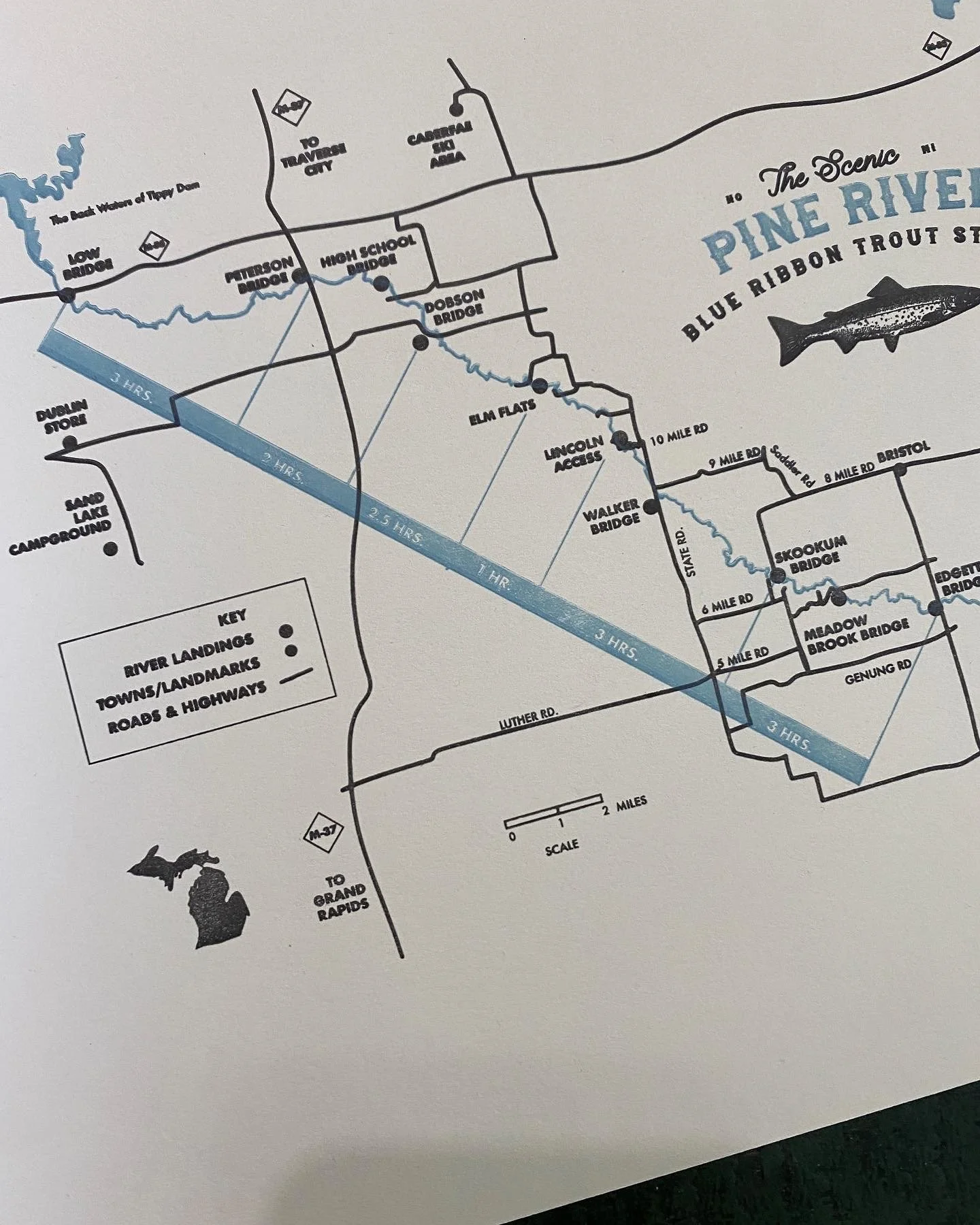
pine river map
The Pine River is a Blue Ribbon Trout Stream in northern lower Michigan. It’s spring-fed and begins near Luther, MI, joining the Manistee River near Wellston, MI. It’s a very cold, fast-moving waterway known for its trout fishing and recreational opportunities.
The last 26 miles of the Pine are a designated National Scenic River. I’ve spent years paddling and camping along this river and can attest to its cold swiftness.
This map highlights the River landings and canoe trip times between each boat launch.
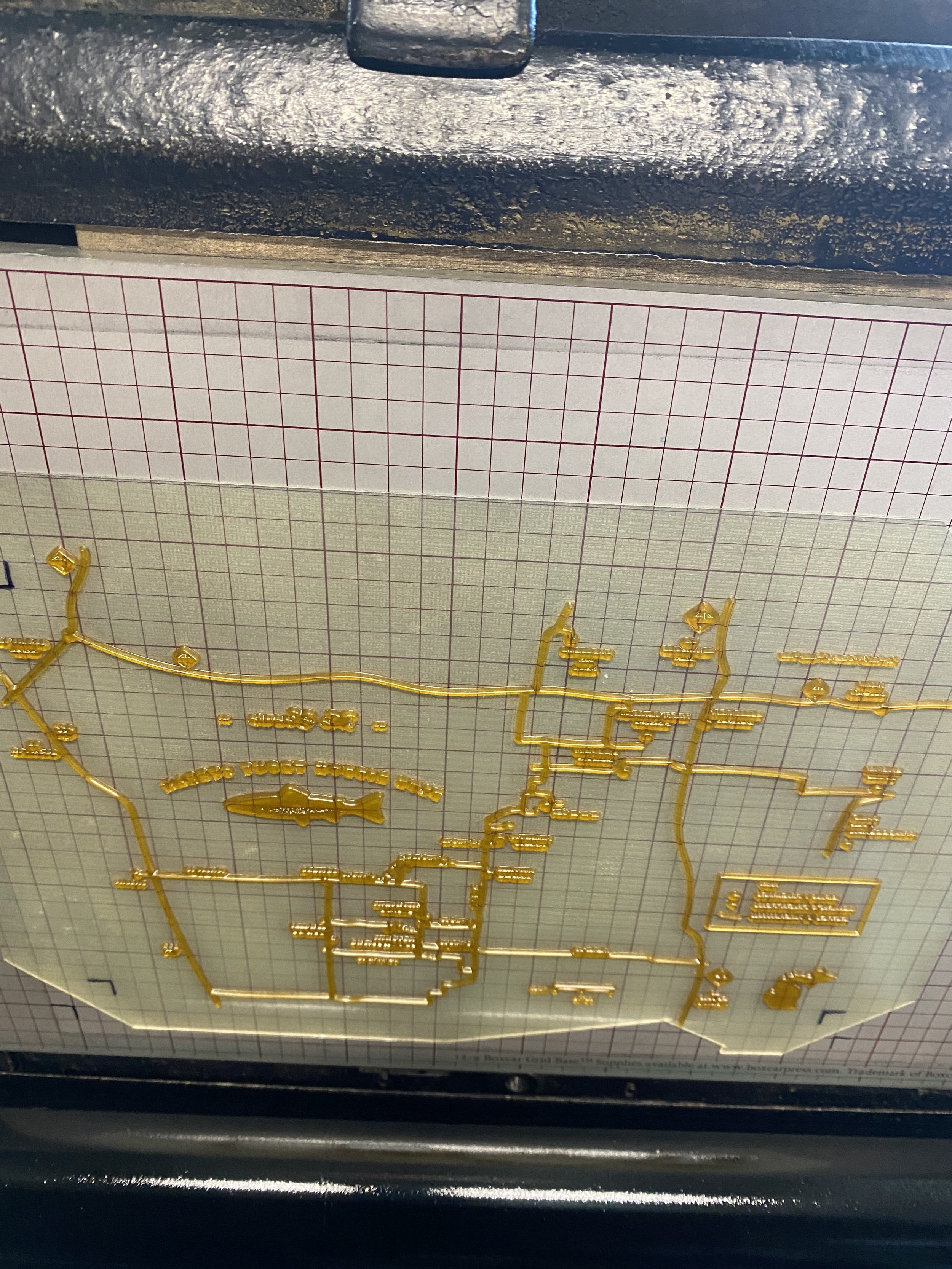
Printed with my antique Chandler and Price press on high-quality French Paper Co. white or cream paper. Letter size - 8.5x11 inches.
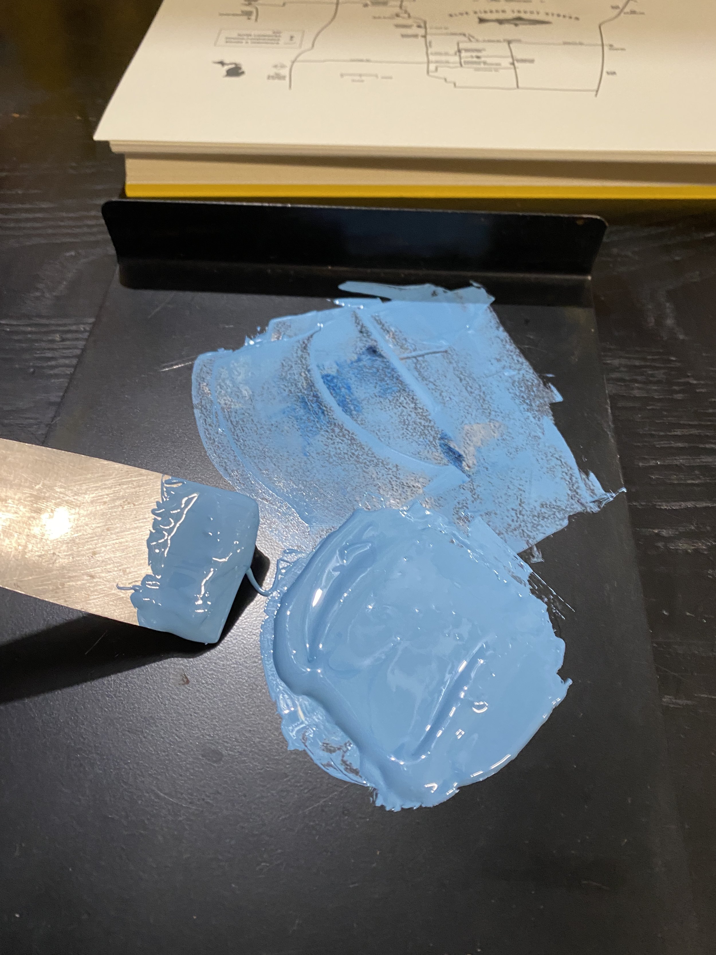
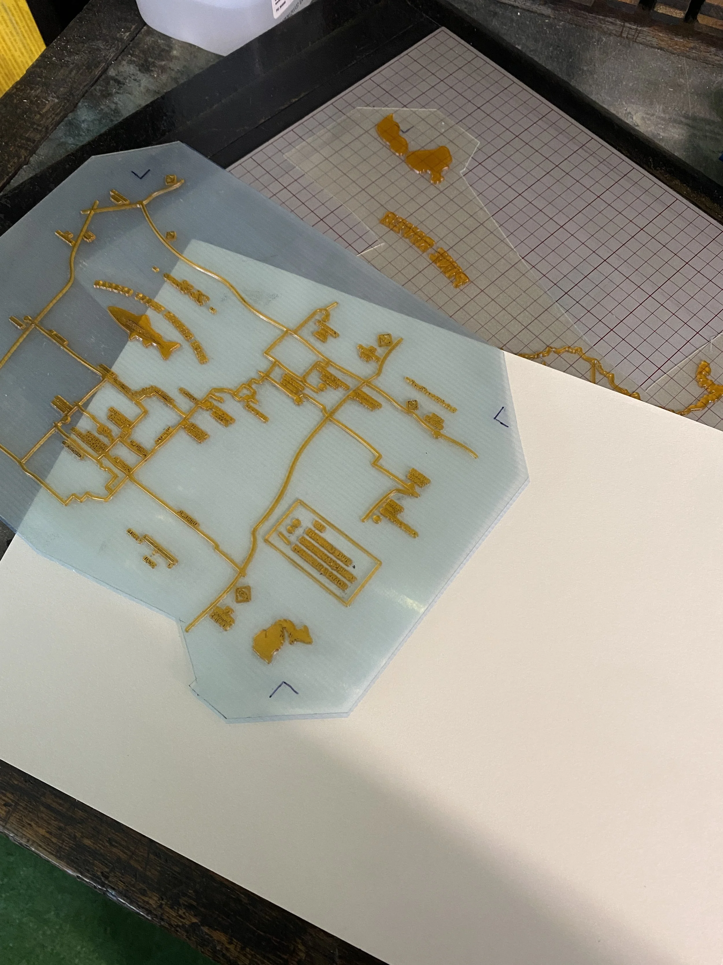
Enjoy some process videos and pictures.
Letterpress Map & Sticker Set
The making of…
Nothing more satisfying than the clickety-clack of a Chandler and Price printing press. Watch below as map prints are tested, registered and more.